At a glance
Total area of the property
Height above sea level
Anticipated mine type
Primary commodity targeted
Production milestone
Ownership
Overview
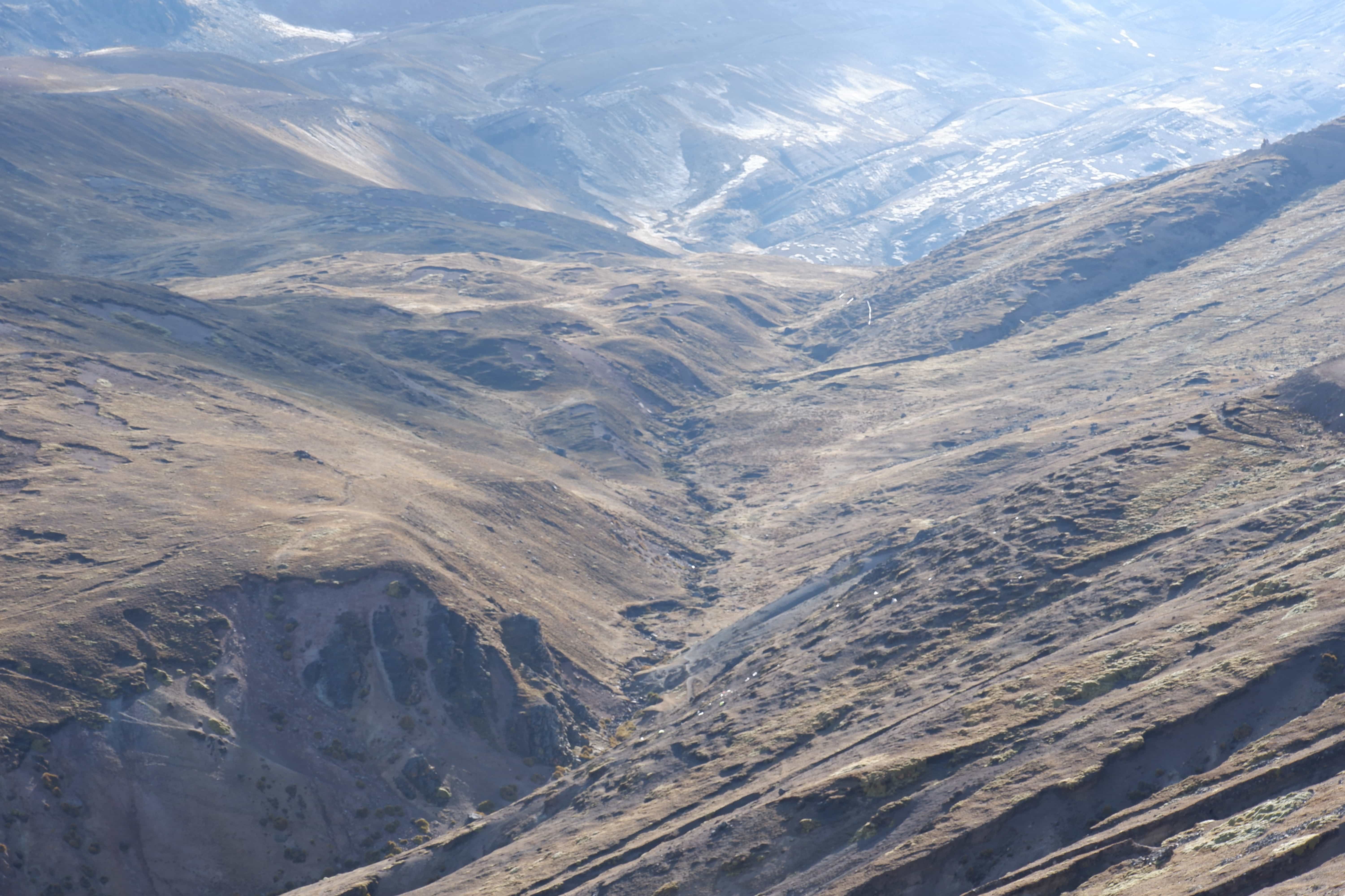
One of five mineral assets in Xstreco's Peruvian portfolio, reactivated under our staged development programme. Cochabamba lies at an average 4,050 metres above sea level on the slopes of Cerro Jatun Jirca in Huanuco department, roughly 553 kilometres from Lima. The property targets copper and precious metals. Relations with the communities around the property are good, and the formal engagement programme is scheduled as part of the next phase of work.
Location
Huanuco
By-products
Precious Metals
Access
Approximately 553 km from Lima via the Panamericana Norte, Huaraz, Huari and Huacaybamba, with a final 36 km to Cochabamba
Permits and approvals
The property is at the advanced exploration permit application stage. Development and production activity follow the grant of the relevant instrument.
How activities are assessedWork programme
The geological setting of the property and the exploration programmes completed on it.
Geological setting
Cochabamba sits on the eastern flank of a folded sedimentary sequence in the Peruvian Andes, along a regional fault against older metamorphic rocks. Sandstones, quartzites, limestones and marls are folded and faulted, with granodiorite intruding the older metamorphic complex at the eastern edge of the property. The main mineralised structure emerges along the fault, at the contact between two sedimentary units.
Work completed
Two programmes have been carried out, eleven years apart. A reconnaissance visit in 2007 by an external exploration company, on adjoining ground held by a third party, mapped the local geology and collected rock samples. A detailed evaluation followed in 2018: traverses across the main structure, structural measurement of the veins and the enclosing beds, and rock chip and channel sampling on the best exposures, worked up into geological, sampling and geochemical maps.
Xstreco is privately held and is under no obligation to publish mineral resource or mineral reserve information. No resource, reserve or production figure is published on this page. Detailed technical information is available to qualified parties on request.
Working responsibly
A single framework of our Group requirements applies to every activity on this property.
How we work with communities
Our assets sit in settings where farming, pasture and settlement long precede mining. Engagement is with people already living on the ground.
Engagement continues for the life of the activity and through its closure.
Our approach to communitiesNews and notices
Updates relating to this asset, most recent first.
A field evaluation of the Cochabamba property, covering traverse mapping, structural measurement and rock chip and channel sampling on the main structure, was reported in November 2018.
A reconnaissance visit in 2007 by an external exploration company, working on adjoining ground, mapped the local geology at what is now the Cochabamba property. The report forms part of the technical record held on file.
Detailed information
Detailed technical and financial information on this asset, including the independent field reports held on file, is available to qualified parties on request.
Contact us